The water under Kansas fell as rain before anybody farmed it
The High Plains aquifer stores ancient precipitation. Withdrawing it is not borrowing; it is spending a balance that accumulated over millennia and refills at a rate measured in fractions of an inch per year.
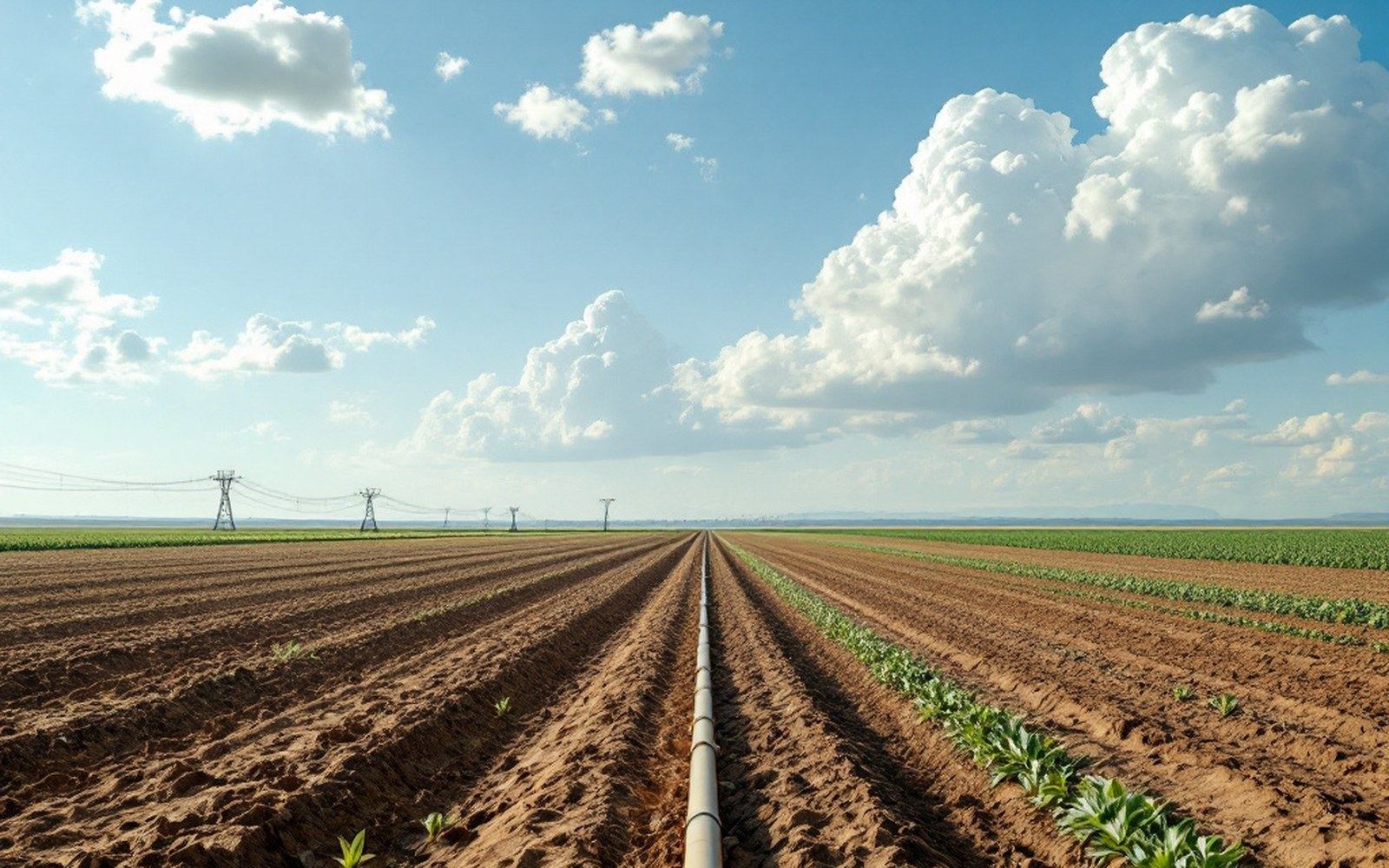
A quarter-section under one pivot. The circle is the reach of a pump, not a feature of the land.
What the aquifer actually holds
The Ogallala Aquifer — the largest and most intensively used portion of the High Plains aquifer system — sits beneath roughly 174,000 square miles of the Great Plains, from South Dakota south to the Texas Panhandle. It is not an underground lake. It is saturated sediment: sand, gravel, silt and clay laid down by streams draining eastward off the Rockies during the Miocene and Pliocene epochs, between about five and twelve million years ago. The water filling those pore spaces arrived later, mostly during and after the Pleistocene — the interval of glacial cycles that ended roughly eleven thousand years ago. In the southern High Plains, carbon-14 dating of groundwater samples has placed much of the water at between ten thousand and thirty thousand years old. Some of it fell when the climate was cooler and wetter, when the vegetation cover was different, when there were no irrigation pumps and no pivot sprinklers and no roads.
The United States Geological Survey has documented recharge rates across the aquifer that average somewhere around half an inch to one inch of water per year across most of the formation, and less than that in the drier southern sections. Irrigation withdrawals in peak years have run to roughly twelve to eighteen inches of water per year across the same land. The arithmetic is not complicated: the aquifer is being drawn down faster than it refills by an order of magnitude in most of the intensively farmed counties.
How old water behaves differently from young water
The distinction between fossil groundwater and actively recharged groundwater matters because it changes what recovery means. In a shallow alluvial aquifer fed by a nearby river, a dry year draws the water table down and a wet year or a reduced pumping season allows it to recover. The system has memory, but it also has throughput — water is moving in and out on a human timescale. The High Plains aquifer, especially in its central and southern extents, does not work that way. The water that arrives today from rainfall infiltrating through the soil profile takes years to decades to reach the saturated zone even where the vadose zone — the unsaturated layer above — is relatively thin. Where the caprock of the southern High Plains is nearly impermeable caliche, effective recharge is negligible regardless of precipitation.
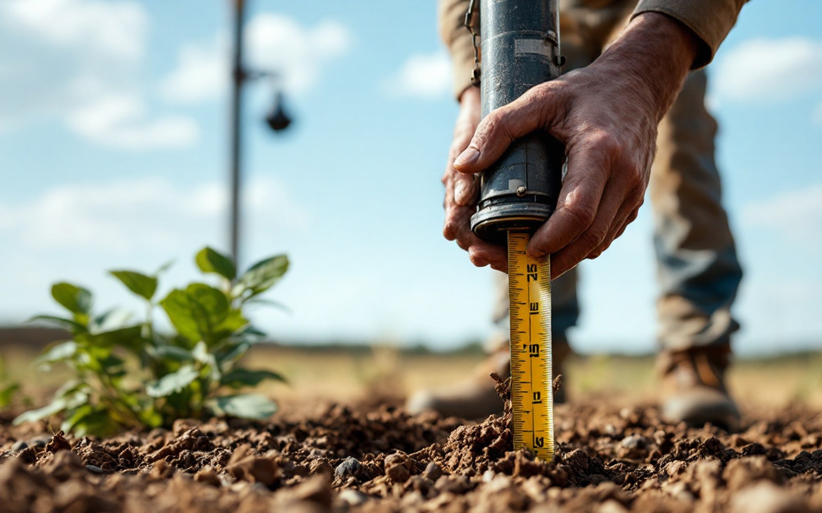
Depth to water is read off a steel tape, well by well, and the reading is what the county map is made of.
The Kansas Geological Survey maintains a long-running network of observation wells across the state and publishes annual saturated-thickness measurements that make the regional trend legible at the county level. The numbers show that some western Kansas counties have lost more than half their original saturated thickness since systematic pumping began in earnest after World War II. Saturated thickness matters because it governs how much water a well can actually deliver: a pump in forty feet of saturated sediment cannot produce what a pump in two hundred feet can, and as thickness declines, yield declines with it, well before the aquifer is technically exhausted.
What the long observation record reveals is that the drawdown is not uniform across the region. The northern High Plains, in Nebraska especially, still carries substantial saturated thickness and benefits from more active recharge and shallower water tables in some areas. The southern High Plains — western Texas and eastern New Mexico — has been depleted more severely and more rapidly. Kansas sits between those extremes, with its western tier of counties showing the steepest losses and its central counties showing slower declines that are still, in aggregate, subtractions.
The engineering answers and what each one costs
There is no technical fix that restores fossil water. The engineering discussion therefore falls into two categories: extending the life of the aquifer by reducing withdrawals, and supplementing supply through alternative sources or infrastructure.
Reducing withdrawals has real traction in Kansas, where a legal mechanism called Intensive Groundwater Use Control Areas, combined with Local Enhanced Management Areas established under 2012 state legislation, allows groups of irrigators to voluntarily agree to pump less — with the goal of reducing the depletion rate by twenty-five percent over five years. The voluntary character of the program reflects the prior appropriation water law system that governs most western states: existing permit holders have legal rights to pump, and mandating reductions is legally and politically difficult. The administrative structure exists; the question is how aggressively it is used.
Water importation — the idea of piping water from wetter regions or the Missouri River basin — has been studied and costed periodically since at least the 1980s. The capital cost of building a pipeline capable of meaningfully supplementing High Plains irrigation across even a single state runs into billions of dollars, and the energy cost of lifting water over the required elevation changes is substantial on an ongoing basis. No such project has been built, and the economic case has not closed, in part because the water being replaced is currently very cheap to pump, which suppresses the price signal that might otherwise justify infrastructure investment.
Aquifer storage and recovery — injecting treated surface water or captured floodwater into depleted aquifer zones — has been piloted at small scales. The geology is workable in some areas but the recharge volumes achievable are modest relative to the depletion rates. A county that has been losing a foot of saturated thickness per year for fifty years is not going to recover that loss through injection projects sized to what is currently feasible.
Drip irrigation and improved scheduling reduce the volume applied per acre, and NASA Jet Propulsion Laboratory researchers working with satellite gravity data from the GRACE mission have shown that regional groundwater storage changes are now measurable from orbit — giving a basin-scale picture to complement the well-by-well observation networks. That measurement capacity is genuinely new; it does not change the underlying arithmetic, but it removes the excuse that the scale of depletion was unknown.
That measurement capacity is genuinely new; it does not change the underlying arithmetic, but it removes the excuse that the scale of depletion was unknown.
What is happening beneath the High Plains is a drawdown of water that arrived over thousands of years and is being withdrawn over decades. The sediment layers that hold it formed over millions of years. Recharge rates measured in fractions of an inch annually cannot replenish what center-pivot irrigation removes in a single growing season. The balance was accumulated in a different climate, by different physics, before anyone thought to pump it — and spent water of that age does not come back.