Mexico City's drains run uphill now
Uneven subsidence across a former lake bed has changed the gradients the drainage was designed around.
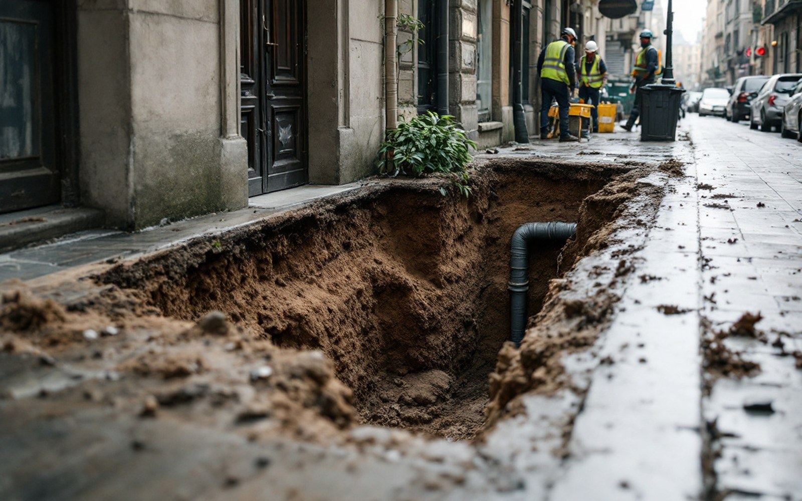
Interferometry across the Valley of Mexico: rates differ sharply between adjacent districts.
The lake bed that wouldn't stay flat
Mexico City was built on a lake. Tenochtitlán, the Aztec capital that preceded it, occupied an island in Lake Texcoco, and when Spanish colonists drained the lake over the sixteenth and seventeenth centuries, they built their grid of streets across the exposed lakebed sediment. That sediment — deep clay interbedded with volcanic ash — is extraordinarily compressible. It also held enormous quantities of groundwater. Pump the water out, and the clay compacts. Mexico City has been doing exactly that for more than a century, and the result is one of the most dramatic cases of land subsidence on record: parts of the city have sunk by more than nine metres since systematic measurement began.
The sinking is not uniform, and that unevenness is where the engineering problem sharpens into crisis. The historic centre, built over the deepest lake deposits, has subsided far more than the surrounding higher ground on volcanic rock. The lakebed clay can be thirty to forty metres deep in some zones; in others, a few hundred metres away, bedrock sits near the surface. Where clay thickness changes abruptly, differential subsidence creates tilting, cracking, and — for drainage infrastructure — a geometric rearrangement that the original engineers could not have designed around, because it did not yet exist when they laid the pipes.
When gravity changes sides
A drainage system is a gravity machine. The pipes are installed on a calculated slope — typically a fraction of a percent — so that wastewater and stormwater flow downhill to collection points, then to interceptor tunnels, then out of the basin. Mexico City sits in an endorheic basin, one with no natural river outlet to the sea, which meant even in the colonial period that drainage required deliberate engineering: canals, then tunnels, then deep drainage infrastructure dug through the mountains ringing the valley.
Jakarta's northern districts sink faster, but that basin is open. The Valley of Mexico has no outlet but pipe and tunnel.
The Gran Canal del Desagüe, completed in 1900, was the nineteenth century's answer: a fifty-kilometre open channel running north, dropping roughly twenty centimetres per kilometre, designed to carry the city's effluent by gravity to the Tula River. By the mid-twentieth century, subsidence had consumed that gradient. Pumps had to be installed to move the water that once moved itself. More pumps were added as the land continued to drop. Today, sections of the Gran Canal that once flowed north under gravity are effectively flat or even slope in reverse relative to their original geometry. The infrastructure has not moved; the land around it has, and it has moved unevenly.
The Emisor Central, a deep drainage tunnel completed in 1975 and running fifty kilometres north-northwest, was sited far below the worst compacting layers precisely to escape this problem. But the connections to it — the collector sewers and street drains at the surface — remained embedded in subsiding clay. When a surface pipe tilts backward, the solids in wastewater settle rather than flush, and blockages accumulate. The Emisor Central itself has experienced deformation at its northern end where it transitions from deep tunnel to shallower outlet structures in still-compacting ground.
The Túnel Emisor Oriente, a sixty-two-kilometre deep drain begun in 2008 and completed in 2019, represents the current engineering response: an even deeper bore, at depths of up to 150 metres, designed to carry the combined flows that the ageing Emisor Central can no longer safely handle alone and to reduce flood risk in a city that, at over 2,200 metres elevation, receives intense seasonal rainfall. Its estimated cost was approximately 1.6 billion US dollars. It does not solve the surface drainage problem; it provides a deeper destination for water that still has to reach it through infrastructure sitting in sinking ground.
What the satellites read
Measuring subsidence across a city the size of Mexico City — population over twenty million in the metropolitan area — requires more than individual benchmarks. NASA's Jet Propulsion Laboratory and collaborating institutions have applied satellite radar interferometry to the Valley of Mexico, producing maps that show deformation rates across the entire basin simultaneously. Published research using Sentinel-1 and earlier synthetic aperture radar data has recorded subsidence rates exceeding thirty millimetres per year in the most heavily pumped zones, with spatial variation sharp enough that neighbouring districts can be subsiding at markedly different rates. InSAR mapping of Mexico City has refined both the magnitude and the patchwork geography of the problem.
The Kansas Geological Survey's monitoring of the High Plains region and the United States Geological Survey's subsidence program both use similar measurement regimes to track groundwater-driven compaction elsewhere, but the scale and duration of Mexico City's subsidence — and the density of built infrastructure exposed to it — make it a singular case for studying what differential settlement does to engineered systems over decades.
The United Nations Environment Programme and the World Resources Institute have both catalogued Mexico City alongside Jakarta as the major current examples of urban subsidence driven by groundwater extraction. Jakarta's northwest districts are sinking faster, in some measurements exceeding twenty-five centimetres per year in the worst-affected areas, but the drainage geometry problem in Mexico City is arguably more analytically tractable because the basin is closed: every litre of rainwater that falls must leave by pipe and tunnel, and the records of pump failures and flood events are detailed enough to trace directly to specific subsidence episodes.
The arithmetic of the pumps
The pumps added to the Gran Canal to compensate for lost gradient now consume significant electrical power continuously. When they fail — during power cuts, during the intense storm events that arrive in the June-to-October rainy season — flooding occurs in low-lying colonias of the city within hours. The cost of pump operation, maintenance, and periodic replacement is folded into the operating budget of the Sistema de Aguas de la Ciudad de México, the city's water utility, and represents a recurring infrastructure tax levied by past groundwater extraction on current ratepayers.
The pumps added to the Gran Canal to compensate for lost gradient now consume significant electrical power continuously.
Reducing that extraction is the only mechanism that would slow the compaction, and Mexico City has made some moves in that direction: expanded surface water imports from outside the basin via the Lerma and Cutzamala systems, and wastewater reuse for industrial and irrigation purposes. But as the Kansas Geological Survey has found in the High Plains aquifer, reducing extraction rates slows drawdown without recovering the lost saturated thickness, and it does not reverse compaction in clay layers that have already consolidated. The pipes that now run uphill will not tilt back. The engineering answer, going forward, is deeper tunnels and more pumps — infrastructure that keeps working against a gradient that keeps getting worse.