Jakarta, several metres down
Pumping groundwater from beneath a coastal city compacts the sediment and the surface drops, which is a different problem from sea level rising.
Radar interferometry resolves millimetres across a whole metropolitan area, which is how the district-by-district variation became legible.
The mechanism under the city
Jakarta stands on a coastal plain built from river-deposited sediments — alluvial clays, silts and sands laid down over millennia at the mouths of the rivers draining Java's volcanic hinterland. These sediments are compressible. When groundwater is extracted from the pores between particles, the pore pressure that was holding the grains apart drops, and the weight of everything above — soil, concrete, buildings — compresses the matrix. The surface descends. This process is called subsidence, and in Jakarta it has been running fast enough and long enough to rewrite the city's relationship with the sea.
The distinction from sea-level rise matters physically and practically. Sea-level rise is a global signal, presently measured at roughly three to four millimetres per year. Jakarta's subsidence has run at rates an order of magnitude higher in the worst-affected districts — the United States Geological Survey and comparable agencies distinguish the two because their causes, timescales and remedies are entirely separate. A coastline sinking at twenty-five millimetres per year is a local pumping problem. Treating it as exclusively a climate problem misdirects the engineering response.
Where neighbouring blocks sink at different rates, the pipes between them change slope.
The sediment sequence beneath northern Jakarta is deep — alluvial deposits extend to several hundred metres — and it is not uniform. Coarser sandy layers transmit water readily and are the targets for extraction wells. Finer clay layers respond to pressure loss by compressing slowly but largely permanently: once the clay consolidates, the pore space is gone. This irreversibility is what makes subsidence in fine-grained sediments a one-way process for practical purposes; the compaction of fine sediments is permanent, and the storage capacity lost to it does not return when pumping stops.
How far the ground has fallen
The numbers for Jakarta are not projections. They are measured. NASA's Jet Propulsion Laboratory and Indonesian researchers have used satellite radar interferometry — a technique that compares radar return signals from successive satellite passes to resolve surface movement at millimetre scale — to map subsidence across the metropolitan area. The picture that emerges is one of severe spatial variation. Districts in North Jakarta, particularly around the port area of Muara Baru and the low-lying reclaimed land to its west, have recorded cumulative subsidence of several metres over recent decades. Some monitoring records suggest that certain locations have sunk more than four metres since systematic measurement began in the 1970s and 1980s.
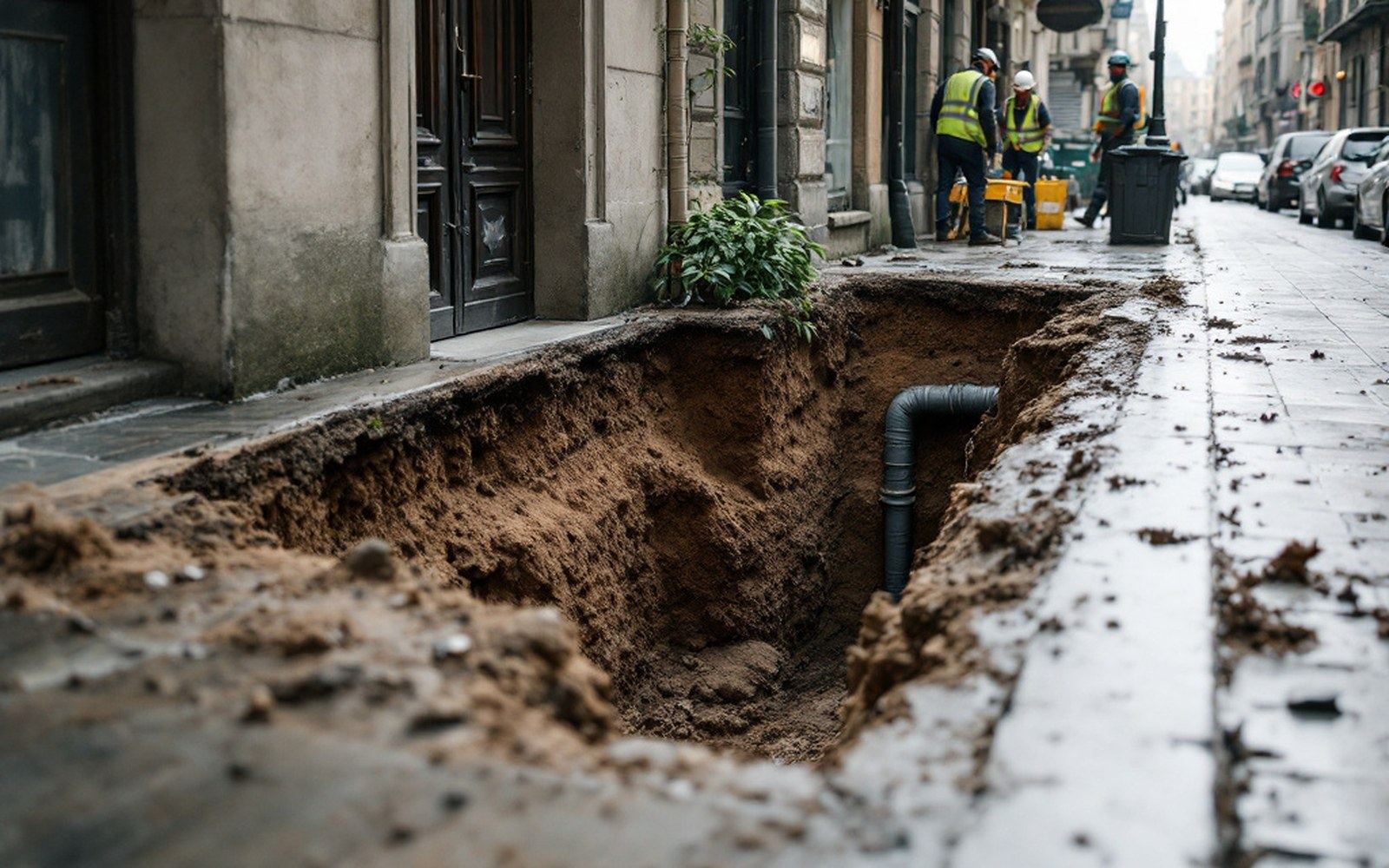
Rates across the city are uneven for the same reason rates vary elsewhere: pumping intensity varies by district, and so does the compressibility of the local sediment column. Parts of South Jakarta, sitting on older and denser geological formations, have subsided far less. The spatial patchwork matters because infrastructure — drainage networks, building foundations, flood barriers, sewer gradients — was designed to specific elevations. When one block sinks faster than its neighbour, the pipes between them change slope, sometimes reversing it entirely. Drainage systems designed to carry water away begin to pond it instead.
Northern Jakarta is already below mean sea level in places. The physical consequence is that tidal flooding events — locally called rob — now reach areas and frequencies that did not occur a generation ago. The flooding is not driven solely by storm surge or high tides; it is driven partly by the fact that the land has descended into the flood zone. A flood-control system calibrated to the 1990s elevation of a district that has since dropped by a metre is operating outside its design parameters.
The engineering responses and what they cost
The standard interventions against subsidence address the cause — excessive groundwater extraction — or attempt to manage the consequence by coastal defence. Jakarta has pursued both, at different scales and with different results.

Regulating groundwater abstraction is the primary lever. Jakarta's provincial government has attempted since the early 2000s to restrict deep well permits and push large commercial and industrial users toward the piped municipal supply operated by the city's water utility. The difficulty is that the piped network has long covered only a fraction of the population, leaving residents and businesses without a legal alternative to self-supply through private wells. Reducing extraction without a credible substitute supply does not reduce demand — it shifts it to unregistered wells beyond regulatory reach. The economics here are simple: where piped water is unavailable or unaffordable, wells persist regardless of permit rules.
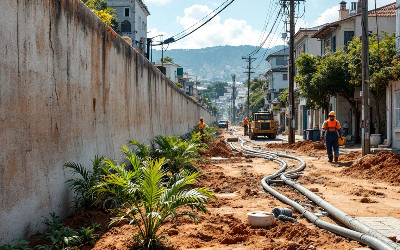
The physical cost of substituting piped supply for groundwater abstraction is substantial. Expanding the distribution network to underserved northern districts requires pipeline construction through dense urban fabric, new treatment capacity and sustained pressure across a system that crosses highly variable ground. Cost estimates for comprehensive network extension run into hundreds of millions of dollars, and the World Resources Institute has documented that Jakarta's water access deficits are concentrated precisely in the low-income districts most affected by subsidence.
The physical cost of substituting piped supply for groundwater abstraction is substantial.
For the areas already below sea level, coastal barriers are the engineering response of last resort. The National Capital Integrated Coastal Development (NCICD) plan — a large-scale scheme that includes an outer sea wall and land reclamation — has been under discussion and partial implementation since the 2010s. The outer barrier component would create an enclosed bay that could be pumped down independently of the sea. Its capital cost estimates have run to multiple billions of dollars, and the project has proceeded in phases, with controversy around the reclamation components, though the physical engineering rationale for separating the low-lying coastal zone from tidal water is straightforward.
Raising individual structures is practiced but addresses symptoms rather than cause. Elevating a building on jacked foundations adds cost and solves nothing for the street, the drain or the adjacent building. Jakarta's subsidence problem is an aggregate of millions of extraction decisions producing a city-scale outcome, and it can only be measured and managed at that scale.
Satellite interferometry is now the primary measurement tool for tracking the process across the metropolitan area. Repeated measurements over years produce not just magnitude but rate and trend — whether extraction controls are working, which districts are still moving fast, where the ground has begun to stabilise. The USGS and equivalent geological survey agencies in other countries use the same technique for subsiding cities from the San Joaquin Valley to Mexico City, where uneven subsidence across a former lake bed has similarly altered drainage gradients built to a surface that no longer exists.