Lake Mead's bathtub ring as a legal instrument
The pale band on the rock is a water level, and water levels trigger clauses — which makes a stain on a cliff a legal event.
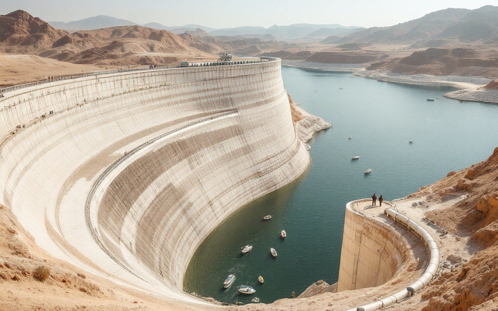
Calcium carbonate does not dissolve in rain. Full pool and every drought low are all still written on the rock.
The geology of a number
The pale band encircling the sandstone walls of Lake Mead is calcium carbonate and other dissolved minerals left behind as the water line retreated. It is a stain. It is also, in the administered world of the Colorado River, one of the most closely watched legal signals in the American West — because the elevation of the water beneath it governs who gets cut, by how much, and when.
Lake Mead sits on the Nevada–Arizona border behind Hoover Dam, completed in 1936. Its full pool elevation is 1,221.4 feet above sea level. The bathtub ring — which reached a vertical width of roughly 180 feet at the reservoir's historic low in July 2022 — marks the difference between that full pool and wherever the surface actually sits. The United States Geological Survey and the Bureau of Reclamation both maintain continuous gauging at the reservoir; Reclamation publishes 24-month projections of future elevation on a monthly basis. Those projections are not forecasts in any casual sense. They are the trigger mechanism for a sequence of legal actions laid out in federal guidelines that have been revised, extended and renegotiated several times since 2007.
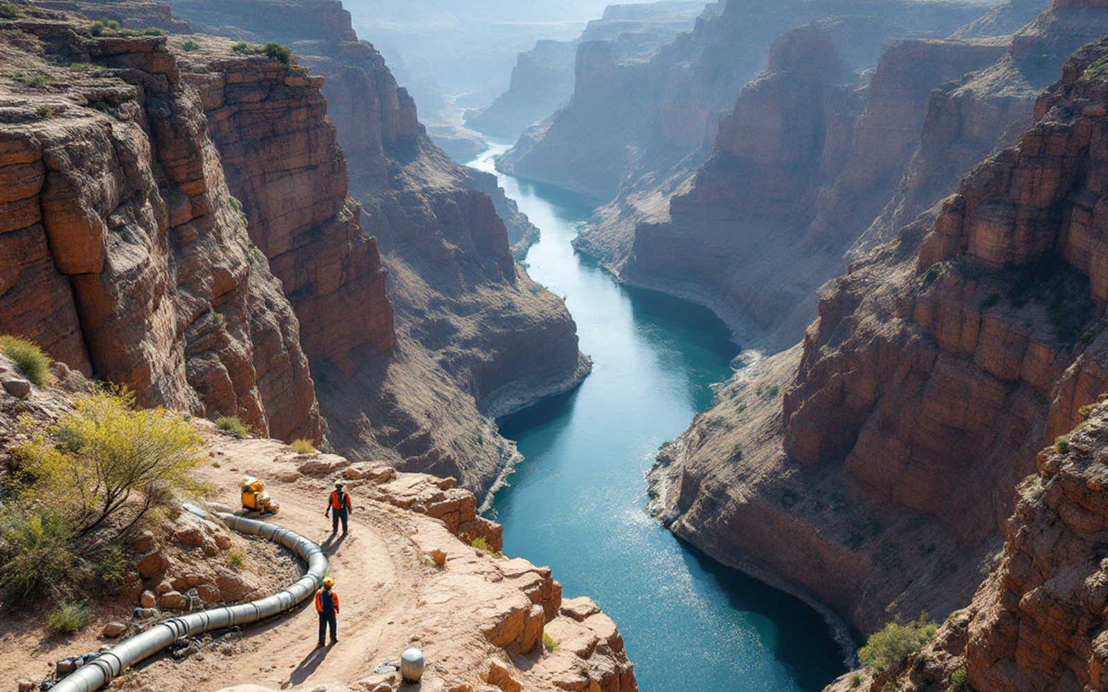
The reservoir is the accounting unit for a river whose paper allocations were fixed in 1922.
The ring, in other words, is not decorative. Every foot of it corresponds to a clause.
How the triggers work
The 2007 Interim Guidelines — formally the "Interim Guidelines for Lower Basin Shortages and the Coordinated Operations for Lake Powell and Lake Mead" — established the first structured shortage-sharing framework for the Lower Colorado River Basin. Before 2007, shortage had no agreed operational definition. After 2007, it had one keyed to elevation: if the Bureau of Reclamation projected that Mead would fall below 1,075 feet at the start of the following year, a shortage was declared and mandatory reductions began. The reductions scaled with depth. At 1,075–1,050 feet, Arizona faced a cut of 512,000 acre-feet per year from its Lower Basin allocation. At 1,050–1,025 feet, 592,000 acre-feet. Below 1,025, 640,000 acre-feet — still a fraction of Arizona's annual use, but a substantial one.
Nevada's cuts under the 2007 framework were proportionally small — around 21,000 acre-feet, reflecting its smaller paper allocation — and California, under the doctrine of prior appropriation, faced none at all at the levels then contemplated. The doctrine works by rank: older rights are senior rights, and the holder of a 1922 right can drain what a 1948 right-holder needs before giving up a gallon. California's pre-1922 entitlements meant that the elevation band in which its cuts would trigger was, in the original framework, lower than Mead had ever been expected to reach.
The reservoir reached 1,040 feet in July 2022. The trigger bands were suddenly in lived experience rather than planning documents.

What followed was the negotiation that produced the 2023 Supplemental Environmental Impact Statement and a set of agreements in which the basin states, agriculture districts, tribes, and Mexico voluntarily agreed to additional reductions in exchange for federal funding — roughly 1.2 billion dollars from the Inflation Reduction Act directed at paying water users to leave water in the reservoir. The legal form of those agreements was a purchase: the Bureau of Reclamation paid per acre-foot not consumed. The bathtub ring had descended far enough that California's prior appropriation advantage finally became negotiable, not because the law changed but because the elevation made the alternative — federal imposition — credible.
What the ring measures that the law also measures
The connection between the mineral stain and the legal event is more intimate than it first appears, because both are measuring the same underlying variable: consumptive use exceeding recharge. An allocation written in 1922 divided an annual flow that has not been sustained in most of the decades since. The Colorado River Compact distributed 16.5 million acre-feet per year across the Upper and Lower Basins plus Mexico; twentieth-century flows as reconstructed from tree rings suggest the river's long-run average is closer to 13–14 million acre-feet, and recent decades have run lower still partly because of increased evaporative loss from warming temperatures.
Mead's elevation has thus been functioning as a slowly draining ledger. Each year that consumptive use exceeds natural flow, the ring climbs higher on the cliff. Between 2000 and 2022, the reservoir lost roughly two-thirds of its storage. The ring that formed during that drawdown is not uniform in chemistry or width — earlier retreats left fainter traces inside the main band — but the outer pale stripe, the one visible from the highway and from news photographs, corresponds almost precisely to the period of sustained overdraft that the 2007 guidelines were designed to address and did not fully arrest.
The monitoring that makes the legal triggers functional is continuous and public. Reclamation's hourly gauge readings are available online; the 24-month study is released monthly and immediately cited in court filings, water authority planning documents, and state engineer decisions across Arizona, Nevada, and California. The Kansas Geological Survey performs analogous monitoring for the High Plains aquifer — measuring saturated thickness rather than surface elevation — but the Colorado system is unusual in making a single reservoir surface elevation the immediate legal lever, rather than a diffuse network of well readings converted to aggregate estimates. A number on a gauge in Boulder Canyon determines whether a farmland in Yuma receives its water.
A number on a gauge in Boulder Canyon determines whether a farmland in Yuma receives its water.
This directness is partly an artifact of surface-water law. The Colorado's allocated flows were always intended to be captured and stored; the reservoir is the accounting unit. Groundwater systems like the Ogallala spread that accounting across thousands of individual wells and produce much slower, more contested legal consequences. Mead's ring is legible in a way that a county-by-county map of saturated thickness is not.
The ring's future position
Reclamation's 2024 modeling projected Mead stabilizing above 1,080 feet through 2026 given the wet years of 2023 and drought-reduction agreements, though it noted substantial uncertainty at any range beyond twelve months. The stain on the cliff does not erase. Calcium carbonate does not dissolve in rain; the high-water mark of full pool and the low-water marks of successive droughts are all still written on the sandstone. What moves is only the water surface beneath the ring — upward in wet years, downward in dry ones — and the elevation number that Reclamation reads from its gauge and sets against the trigger values in the shortage guidelines.
The 2007 guidelines expired at the end of 2026 and basin states were required to negotiate replacement operating rules. Those negotiations, ongoing as of this writing, were themselves structured around elevation ranges — what cuts apply at what levels, whether California's senior rights would be formally adjusted, how Mexico's 1944 treaty allocation would interact with new shortage tiers. In each of these conversations, the number that mattered was still a lake elevation. The ring marked where it had been. The lawyers argued about where it was going.