The wells that measure it, and who reads them
A monitoring well is a steel pipe in the ground with a measurement at the bottom. The record it produces is only as good as the person who showed up.
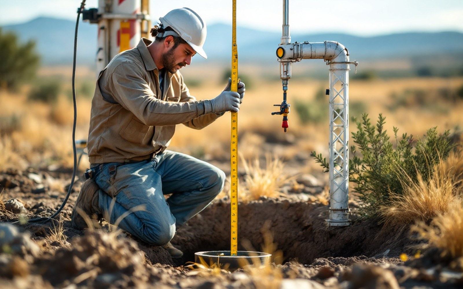
The reading is depth below the measuring point, taken in winter before the season draws the level down.
The ledger in the pipe
The United States Geological Survey has maintained water-level measurements in the High Plains aquifer since the 1930s. The method has barely changed: a field technician lowers a calibrated steel tape — or, in more recent installations, a submersible pressure transducer — to the water surface and reads the depth. That number, recorded in feet below the measuring point, enters a database that now spans nearly a century and tens of thousands of sites across eight states.
The Kansas Geological Survey runs its own network in parallel, conducting an annual January measurement across hundreds of wells in the state. January is deliberate: winter irrigation is essentially zero, so the reading captures the aquifer's resting state after the growing season has drawn it down and before the next one begins. The arithmetic between this year's reading and last year's is the drawdown — the net loss that accumulates, well by well, into a regional picture of depletion.
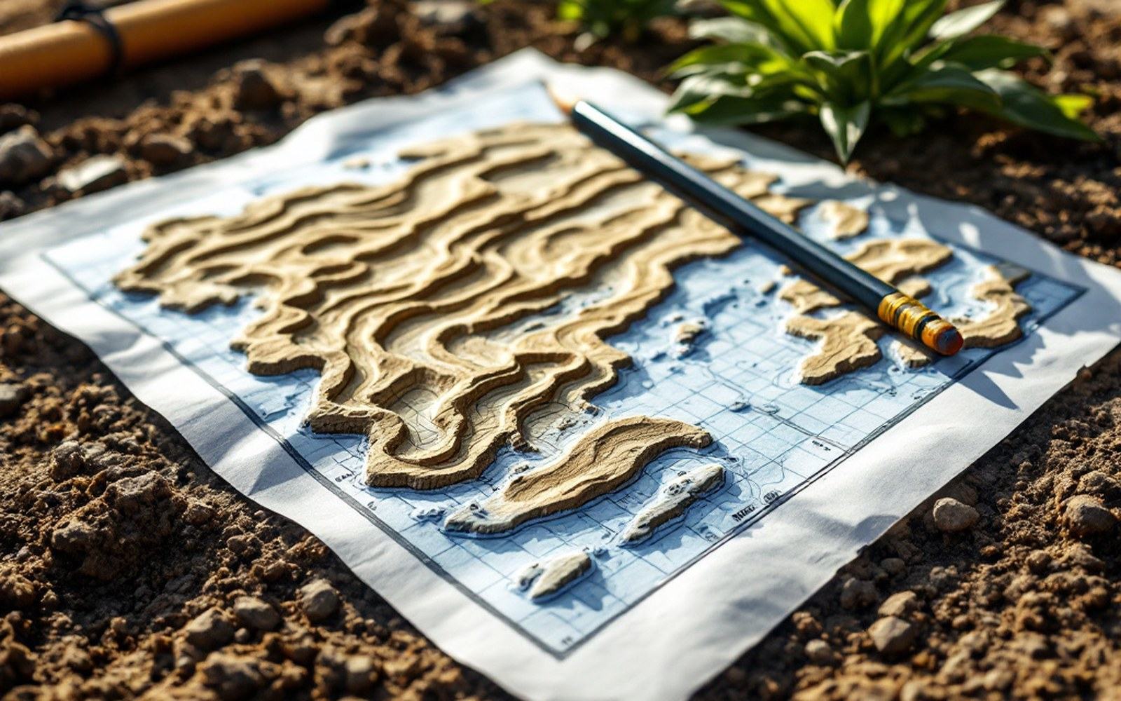
Hundreds of single readings, compiled. The county map is an artefact of the field trip.
Most of the monitoring wells are not pumping wells. They are purpose-drilled observation points, cased and screened at the aquifer's saturated zone, existing only to be measured. A landowner may have one on a corner of a field and may never look at it; the technician comes once a year, records the number, and leaves. The continuity of the record depends entirely on that trip happening.
What breaks the record
Gaps appear. A well is damaged by farm equipment, filled in during land-sale transitions, or simply skipped in a year when budgets contract. Each gap is a missing data point in a record that derives its value entirely from continuity. The Kansas Geological Survey's annual reports document which wells were measured, which were skipped, and which have been retired — the metadata of absence is itself informative.
Automated transducers have reduced the dependency on individual field visits. A pressure sensor logging hourly requires a download visit rather than a measurement visit, and the data density increases by orders of magnitude. But sensors fail, batteries drain, and a transducer sitting in a dry well because saturated thickness has dropped below the screen produces a flatline that looks, at first glance, like an instrument error. Distinguishing a dead sensor from a dry well is its own field procedure.
The number at the bottom of the tape is simple. The infrastructure of people, budgets and institutional continuity that puts someone at the wellhead every year is not.