The Colorado, divided in a wet decade
The number on the paper is 16.4 million acre-feet. The river has rarely produced it.
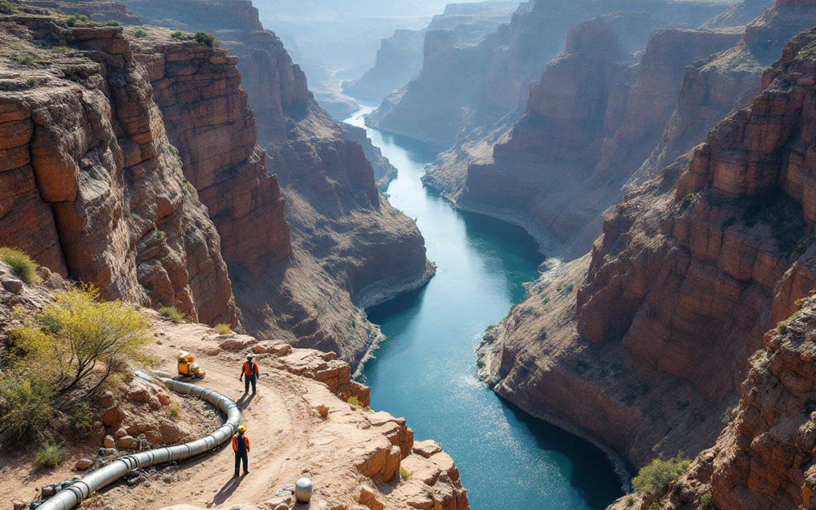
The pale band is the difference between the reservoir as designed and the reservoir as filled. Each elevation answers to a clause.
The compact and its founding error
The Colorado River Compact was signed at Santa Fe, New Mexico, on 24 November 1922. Its architects divided the basin at Lee Ferry, a gauging point in northern Arizona, and allocated 7.5 million acre-feet per year to the Upper Basin states — Colorado, Utah, Wyoming, and New Mexico — and the same to the Lower Basin. A 1944 treaty committed a further 1.5 million acre-feet annually to Mexico. The arithmetic produced a total obligation of 16.5 million acre-feet each year.
The problem, visible in the hydrological record almost immediately, is that the negotiators worked from gauge data collected during an anomalously wet period. The years leading up to 1922 sat near the top of the river's natural range. Tree-ring reconstructions published by the United States Geological Survey and academic partners show that the long-run average flow at Lee Ferry is closer to 13–14 million acre-feet per year — and in many decades of the past five centuries, substantially less than that. The compact allocated water the river does not reliably carry.
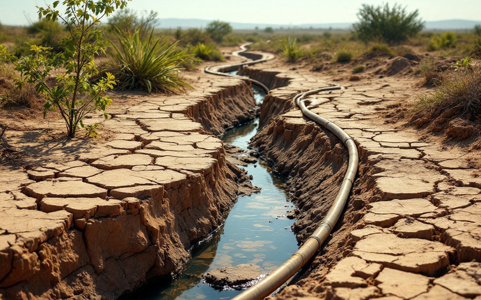
Below the last diversion the channel carries water only when water is deliberately sent for it.
This is not a political judgment. It is subtraction. When obligations exceed supply, the deficit must land somewhere: on junior water-rights holders first, under the doctrine of prior appropriation, then on the basin states through negotiated "shortage" declarations, and ultimately on the river's lower reach and its delta in Mexico. The Colorado River delta, once a vast wetland spanning the border into Sonora, now receives water only when deliberate pulse flows are arranged — a hydrological artifact of the allocation arithmetic.
The law of the river, clause by clause
"The law of the river" is the collective term for the cascade of compacts, decrees, and operating agreements that govern the Colorado. Below the 1922 compact sit the Boulder Canyon Project Act of 1928, which authorised Hoover Dam and established California's 4.4-million-acre-foot entitlement; the 1944 Mexican Water Treaty; the Supreme Court's 1963 decision in Arizona v. California, which fixed Arizona's Lower Basin share at 2.8 million acre-feet; and a series of operating guidelines updated most recently in 2007 and again in 2019.
Each layer was written in the legal vocabulary of its moment, and each assumed a river running near its 1922 volume. The Bureau of Reclamation, which operates the system's major storage — Lake Mead on the Nevada–Arizona border and Lake Powell upstream in Utah and Arizona — manages releases against these layered entitlements. When storage falls, the 2007 guidelines trigger shortage tiers: Arizona and Nevada face cuts first at defined elevation thresholds; California, holding senior rights, is cut later. The Bureau of Reclamation's Colorado River operations data tracks reservoir elevations, monthly releases, and shortage declarations in real time, a ledger of how far the paper allocations diverge from physical reality.
Lake Mead reached its lowest recorded elevation since filling in July 2022 — just above 1,040 feet above sea level, against a full-pool elevation of 1,229 feet. The pale calcium-carbonate ring left on the canyon walls, sometimes called the bathtub ring, is not decorative. It is a legal instrument: each elevation band corresponds to a shortage tier, and the rock carries the history of every clause that has triggered.
What the arithmetic produces
The structural deficit has three components. First, consumptive use — the water consumed by crops, cities, and industry and not returned to the river — has grown with population and irrigated acreage since 1922, while the paper entitlements have not shrunk to match. The Imperial Valley in California alone, one of the most productive irrigated regions on earth, holds senior rights to roughly 3.1 million acre-feet per year, more than any single state in the Upper Basin commands. Those rights were secured under prior appropriation and are legally senior to most other Lower Basin claims.

Second, evaporation from the reservoirs themselves is a real loss. Lake Mead and Lake Powell together lose an estimated 600,000 to 800,000 acre-feet per year to surface evaporation — a consumption figure that appears in no allocation table but reduces the water available to all claimants. The engineering solution to storage, in other words, carries its own water cost.
Third, climate has moved the baseline. The World Resources Institute's Aqueduct Water Risk Atlas documents increased aridity across the Colorado basin since the mid-twentieth century. Reduced snowpack, earlier melt, and higher temperatures increase evapotranspiration from soils before water reaches the channel — what researchers call "aridification" rather than simple drought, a shift in the mean rather than a temporary departure from it. The Bureau of Reclamation's 2012 Colorado River Basin Water Supply and Demand Study projected that the supply-demand gap could reach 3.2 million acre-feet per year by 2060 under mid-range scenarios; that figure came from the Bureau's own modelling, carries its own uncertainty range, and has been widely cited since.
| Item | Figure |
|---|---|
| Imperial Valley's approximate senior annual water right, largest single block in the Lower Basin | 3.1 million acre-feet |
| Bureau of Reclamation's mid-range projected supply-demand gap by 2060 (2012 study) | 3.2 million acre-feet |
The Upper Basin states have an additional structural exposure. The 1922 compact obligates them to deliver 75 million acre-feet to Lee Ferry over any rolling ten-year period, regardless of what falls as snow. In dry decades they can draw on stored water in Lake Powell, but the reserve is finite. If the reservoir drops to "minimum power pool" — the elevation below which the Glen Canyon Dam turbines cannot generate — the operational options narrow sharply. Every claimant on paper is legally real; the question is how the gap is distributed when the river cannot honour them all.
The cost of closing it
The engineering responses to a structural deficit have well-documented price tags. Desalination of ocean water at the Sea of Cortez and pumping it to Lower Basin users has been discussed repeatedly; the energy cost of reverse osmosis at that scale, plus conveyance over distance and elevation, makes it among the most expensive options on the supply side. Efficiency gains within existing irrigation — drip irrigation's real arithmetic being more complex than it first appears — can reduce field-level consumption but do not automatically return that water to the river if the saved water is simply used elsewhere. Demand reduction through fallowing, where irrigators are paid not to plant, is measurable and immediate but transfers economic activity off the land.
Demand reduction through fallowing, where irrigators are paid not to plant, is measurable and immediate but transfers economic activity off the land.
The compact cannot be renegotiated simply by agreement among the seven basin states; Congress, Mexico, and existing water-rights holders all have standing. What can change, and has changed incrementally, is how the operating guidelines distribute shortage when it arrives. The 2022 and 2023 emergency conservation agreements among the Lower Basin states — temporary, voluntary, and compensated reductions — are the most recent example of that adjustment. They reduced the deficit. They did not close it.