Why the ground does not come back up
Once the sediment compresses, the pore space is gone — and so is the aquifer's capacity to hold water again.
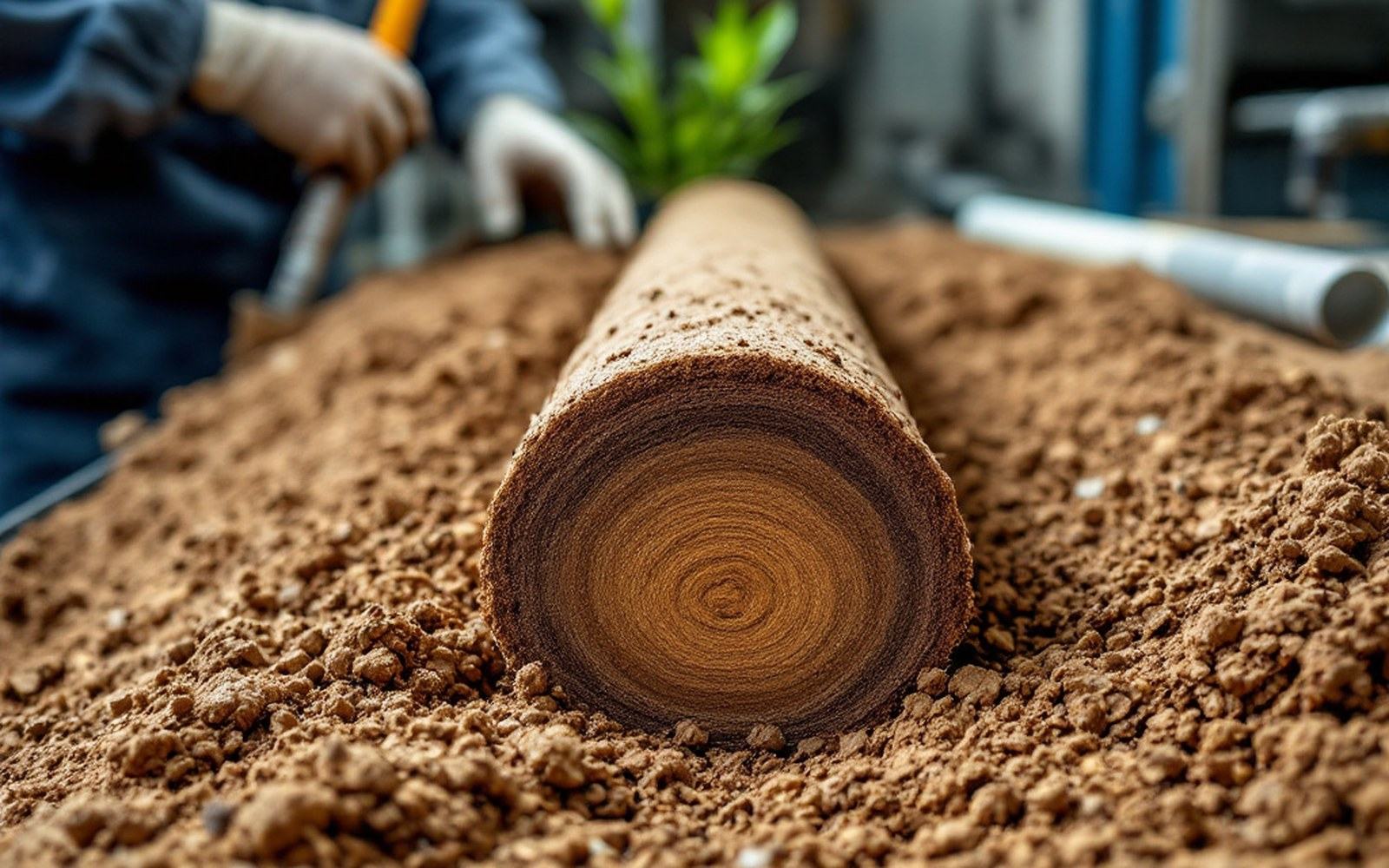
The surface consequence: the ground descends, and the street furniture goes down with it.
The mechanics of permanent loss
Groundwater does not sit in underground caves. It occupies the tiny gaps — pores — between grains of sand, silt and clay. When pumping lowers the water table, those pores partly drain, and the grains rearrange under the weight of everything above. Coarse sands compact a little and can partially rebound when pressure is restored. Fine-grained clays are different. Their plate-like particles crush together and interlock irreversibly. The United States Geological Survey has documented this distinction carefully: elastic deformation in coarse sediments can reverse; inelastic deformation in clays cannot. Once a clay layer compacts, the pore space that held water is physically gone.
The surface consequence is subsidence — the ground sinks, sometimes dramatically. In the San Joaquin Valley of California, parts of the land dropped as much as about nine metres through the twentieth century, driven almost entirely by groundwater extraction. In Jakarta, pumping from confined aquifers beneath the city has produced subsidence exceeding four metres in the most affected northern districts. Mexico City, built on drained lake sediments, has sunk more than ten metres in places over the past century. In each case, the fine lacustrine or alluvial clays did the same thing at the grain scale: they collapsed and did not spring back.

Borehole extensometers established the mechanism. Satellite radar showed how far it extends.
The aquifer storage loss is the part that gets less attention than the cracked roads and tilted buildings. When a confined aquifer loses pore space to inelastic compaction, its storage coefficient — the volume of water released per unit decline in head — shrinks permanently. Even if rainfall or managed recharge eventually refills the system, the rock matrix no longer has room for as much water as before. The Kansas Geological Survey's monitoring of the High Plains aquifer shows that the regional water table has fallen tens of metres in the most heavily pumped counties; where fine interbeds are thick, recovery of any saturated thickness does not mean recovery of the original storage capacity.
NASA's Jet Propulsion Laboratory has used satellite radar interferometry to measure subsidence across large areas with millimetre-scale precision, mapping the deformation field over California's Central Valley and other basins. The data confirm what borehole extensometers established decades ago: aquifer-system compaction correlates directly with drawdown, and the inelastic fraction does not reverse. Engineers can pump a depleted basin slowly and keep elastic deformation manageable; they cannot un-crush a clay layer. The pore space that took thousands of years to accumulate under the weight of deposited sediment is erased in a pumping season, and no engineering answer yet restores it.