The delta, and the water sent to it
The Colorado River has not reliably reached the Gulf of California since the 1960s. The trickle released since is a calibrated experiment, not a restoration.
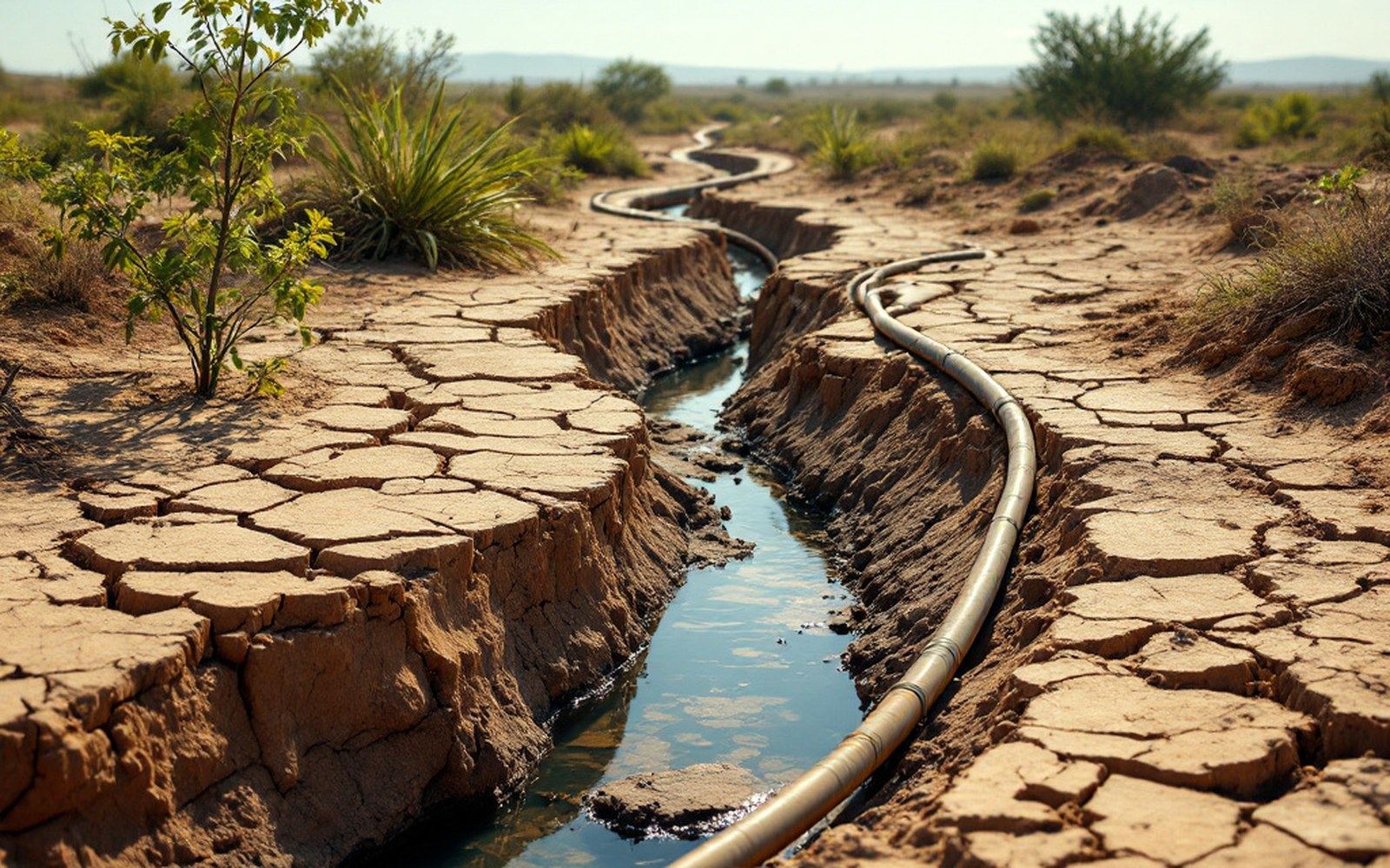
Every acre-foot sent to the delta is one not delivered to a prior appropriation holder upstream.
A river stopped short
The Colorado River delta was once one of the largest wetland complexes in North America — roughly 800,000 hectares of ciénega (freshwater marsh), riparian forest, and tidal flat where the river met the Gulf of California in the Sonoran Desert. Aldo Leopold canoed through part of it in 1922 and described a labyrinth of channels thick with birds. By the 1960s, upstream dams and diversions had absorbed the river so thoroughly that the channel rarely reached the sea. The delta contracted to a fraction of its former extent, the once-continuous riparian corridor dried, and the estuary shifted to a near-marine salt flat fed by irrigation return flows and tidal intrusion rather than river water.
The arithmetic is straightforward. The Colorado River's paper entitlements allocate roughly 16.5 million acre-feet per year among seven U.S. states and Mexico. The river's long-run average annual flow — already diminished from its pre-dam baseline — has run below 15 million acre-feet for most of the past two decades. Consumptive use, meaning the water actually absorbed by crops, cities and industry and not returned to the channel, consumes essentially all of it before the delta. What arrives in Mexico's Mexicali Valley is largely the residual: drainage water and minor seepage from the All-American Canal. The delta receives whatever is left, which is often nothing.
Pulse flows and what they measured
In 2012, the United States and Mexico signed Minute 319, an amendment to the 1944 Water Treaty, that included a one-time "pulse flow" — a deliberate release of about 105,000 acre-feet into the dry channel in spring 2014. The volume was chosen to approximate a natural spring flood of the kind that once reconnected the river to the estuary. The United States Geological Survey monitored the event closely, and researchers tracked how far the water traveled, how quickly it infiltrated or evaporated, and how vegetation responded.
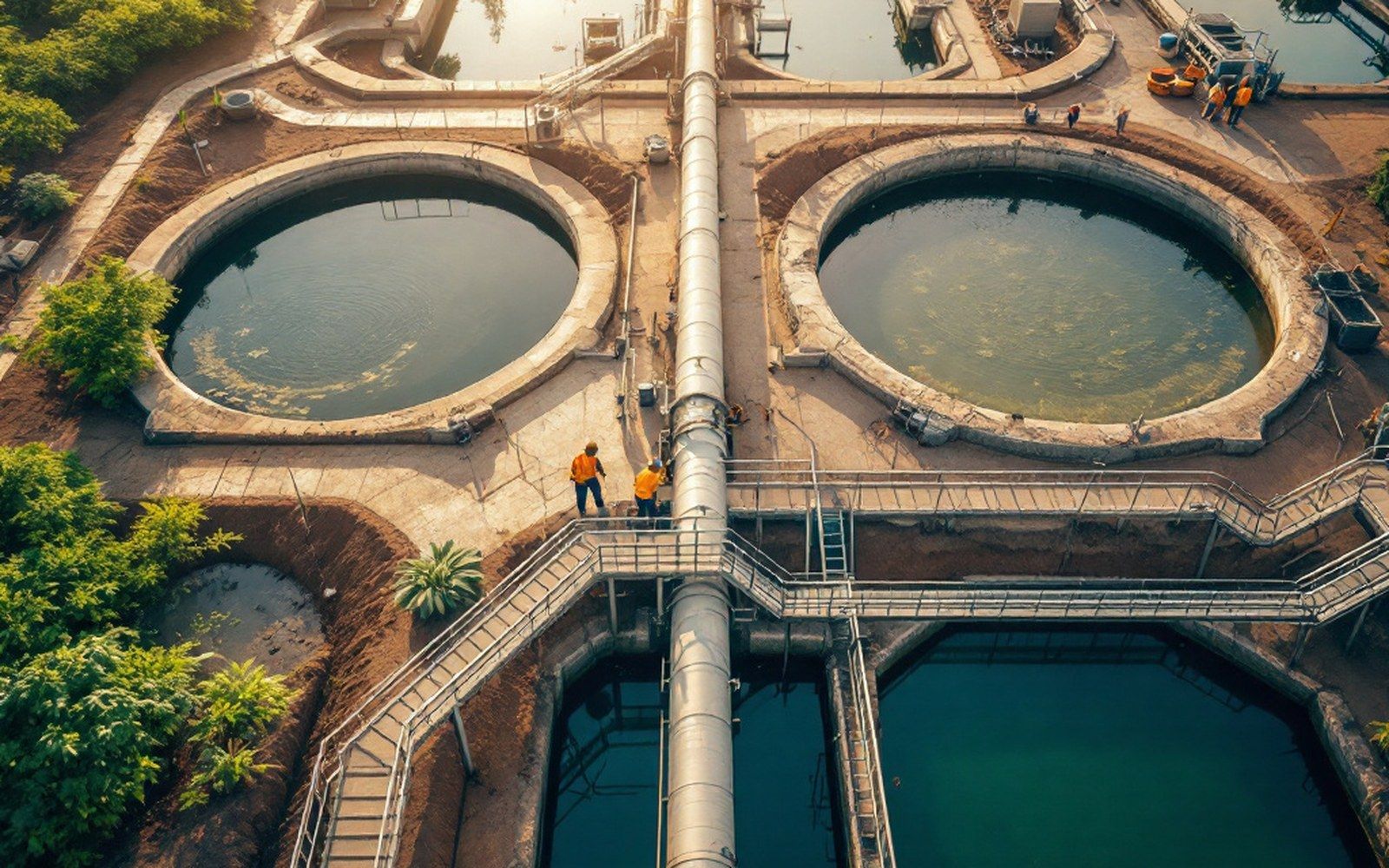
Drainage water and canal seepage, not river water, now feed most of what is left of the estuary.
The pulse reached the sea — briefly. It took about eight weeks for the front to travel roughly 130 kilometers to tidal water, and it wetted the channel bed enough to germinate cottonwood and willow seedlings along portions of the reach. Groundwater levels near the channel rose measurably, sustaining some of that vegetation through subsequent dry months. The experiment demonstrated that even a single discharge of that scale could elicit a biological response, but it also confirmed the limits: most of the water was gone within weeks to evaporation and infiltration, and without follow-on flows the seedlings largely died.
Minute 319 also included smaller "base flows" — a continuous low-level release of around 2 cubic meters per second — routed to specific restoration sites managed by conservation groups and the Mexican federal government. A successor agreement, Minute 323, signed in 2017 and running through 2026, extended similar provisions. NASA's Jet Propulsion Laboratory has used satellite imagery and radar to track land cover changes in the delta before and after these releases, mapping vegetation recovery at scales impossible with ground surveys alone.
The recoverable area is a small fraction of the historical delta. Estimates from researchers involved in the post-Minute 319 monitoring placed active restoration sites at roughly 1,000 hectares — compared with the hundreds of thousands that once existed. The constraint is not technique but volume: the water the delta needs does not exist as a surplus anywhere in the basin's current accounting. Every acre-foot sent downstream is an acre-foot not delivered to a prior appropriation holder somewhere upstream, and the legal architecture of the Colorado makes that trade-off explicit rather than incidental. The delta is what the arithmetic leaves over, and in most years the arithmetic leaves nothing.