Every claimant and the share on paper
The Colorado River Compact divided a river that, in most years since 1922, has not held enough water to honour every claim written into it.

Lee Ferry is the accounting point. Everything above it is the Upper Basin's obligation; everything below it is the Lower Basin's share.
The Arithmetic That Does Not Close
The Colorado River Compact, signed at Santa Fe in November 1922, apportioned 7.5 million acre-feet per year to the Upper Basin states — Colorado, Utah, Wyoming, and New Mexico — and another 7.5 million to the Lower Basin. A 1928 act gave California the largest Lower Basin entitlement: 4.4 million acre-feet. A 1944 treaty then committed 1.5 million acre-feet annually to Mexico. Summed, the paper commitments reach roughly 16.5 million acre-feet per year.
The river rarely delivers that. Tree-ring reconstructions of Colorado River flow show that the twentieth century, and particularly the wet decades around the time of the Compact, was anomalously moist by the standards of the previous five centuries. The flow the negotiators used as their baseline — about 16 to 17 million acre-feet — was not a safe median. It was closer to a high-water mark. Mean natural flow since systematic gauging began has been estimated at roughly 14 to 15 million acre-feet, and in years of drought the delivery has fallen well below that.
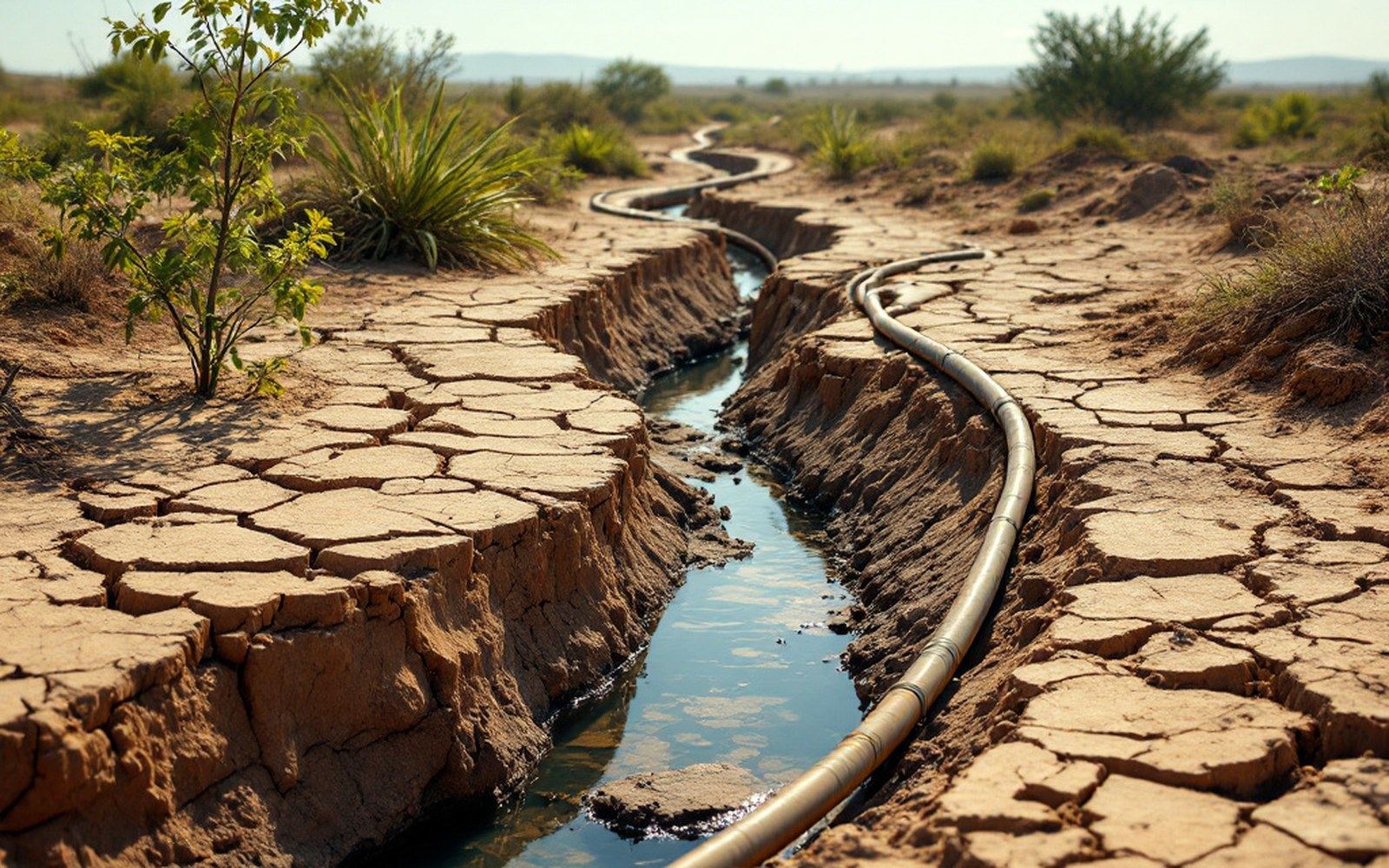
Mexico's 1.5 million acre-feet arrives through infrastructure agreements. What reaches the delta is the residual.
The doctrine governing who gets paid in a short year is prior appropriation — first in time, first in right. Each state's entitlements carry a priority date, and junior claimants are cut before senior ones. Within the Lower Basin, the Bureau of Reclamation administers shortage declarations tied to Lake Mead's elevation; specific trigger levels written into a 2007 interim guidelines agreement and revised under a 2023 framework determine which users receive mandatory reductions and by how much.
Seven States, One Set of Books
The Upper Basin's 7.5 million acre-feet is delivered not as an annual guarantee but as a ten-year running average, which gives those states flexibility in wet years to offset dry ones. Still, consumptive use — the water withdrawn that does not return to the stream — has grown over the decades, and the margin between what the Upper Basin uses and what it must pass to Lee Ferry, the compact's accounting point in northern Arizona, has narrowed. Colorado alone holds entitlements that, fully exercised, would account for the largest share of the Upper Basin allocation, but infrastructure to divert it has never been built, so actual use remains below the paper right.
California's 4.4 million acre-feet entitlement is supplemented by agreements that allow it to draw on unused Arizona and Nevada allocations in wet years, storing that water in Lake Mead under a banking arrangement. Arizona, which fought California's priority for decades before the Supreme Court settled the matter in Arizona v. California in 1963, holds 2.8 million acre-feet. Nevada's compact share is the smallest Lower Basin allocation at 300,000 acre-feet, though the state's portfolio includes significant return-flow credits from Las Vegas Valley — water discharged back to Lake Mead after municipal treatment, which Nevada may re-divert.
What the Gap Means in Practice
The World Resources Institute's Aqueduct tool classifies the Colorado basin among the most severely water-stressed river systems on the continent, which follows directly from the ratio of total allocated volume to actual available flow. The Colorado River delta in Mexico presents the sharpest illustration: a river once reaching the Sea of Cortez now exhausts itself in irrigation canals before it gets there in most years, and Mexico's 1.5 million acre-feet entitlement is delivered through infrastructure agreements that have sometimes required renegotiation after major droughts.
| Item | Figure |
|---|---|
| Estimated mean natural flow (modern gauging era) | ~14–15 million acre-feet per year |
| California's Lower Basin share | 4.4 million acre-feet |
| Arizona's Lower Basin share | 2.8 million acre-feet |
| Nevada's Lower Basin share | 300,000 acre-feet |
The paper rights will never be reduced simply by revising the Compact, because the Compact is an interstate legal instrument that requires ratification by each signatory state and Congress. Structural over-allocation therefore persists as an arithmetic fact, resolved in dry years by a hierarchy of cuts rather than by correcting the original numbers. The measurement system — gauges, reservoir elevations, consumptive-use accounting — is precise enough to track who owes what and who receives what; what it cannot do is conjure water the system does not contain.